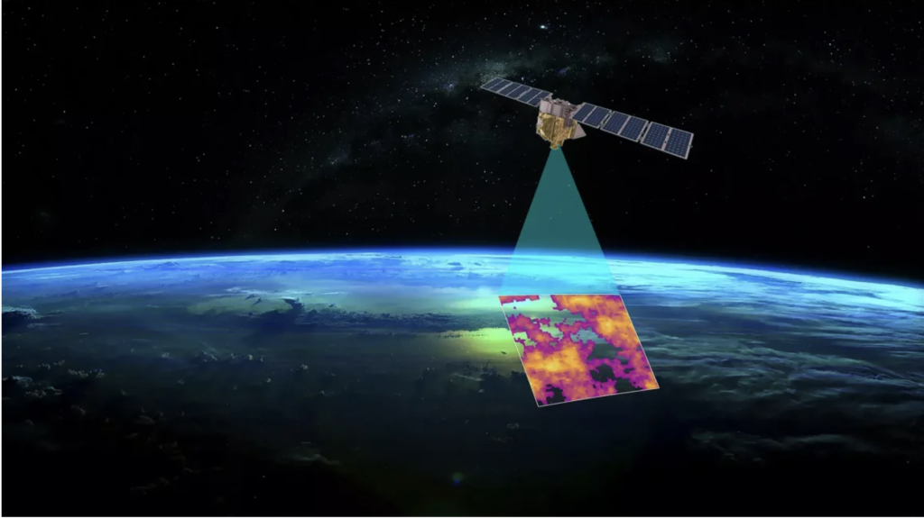
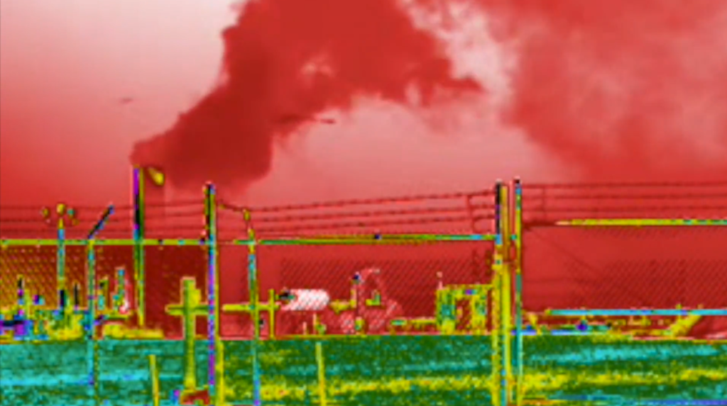
As the saying goes, “A picture is worth a thousand words.” This timeless idea resonates deeply when it comes to addressing environmental challenges. Recently, the Environmental Defense Fund released groundbreaking data captured by its satellite, which orbits the Earth to detect and map methane leaks. Methane, a potent greenhouse gas, plays a significant role in accelerating climate change, and this innovative approach demonstrates the power of technology in visualizing and tackling complex environmental issues.
The use of satellite imagery to expose invisible threats like methane pollution is not just scientifically impactful but also emotionally compelling. Visual feedback, such as these striking images, can bridge the gap between abstract data and public awareness, making the unseen tangible. I’ve often thought that providing clear, visual evidence of pollution would be one of the most effective ways to capture people’s attention and inspire action. These images don’t just tell a story—they demand a response, underscoring the urgency of our collective fight against climate change.


